Tag Archives: Canada

Yolo in Yoho

IMG_20180717_133635

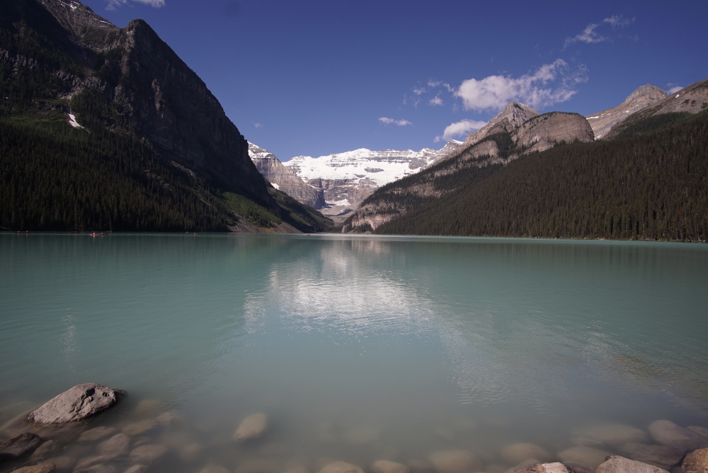
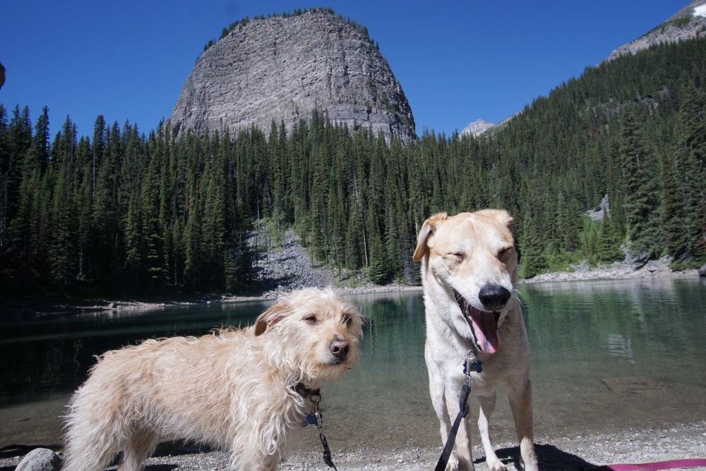
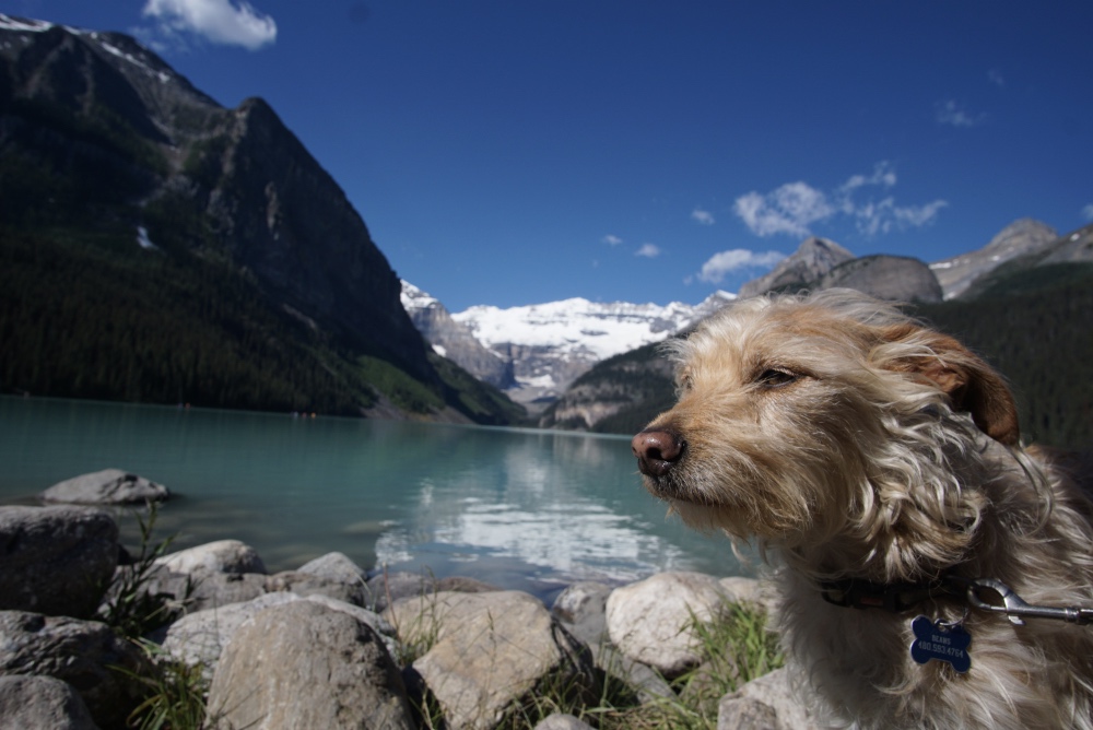
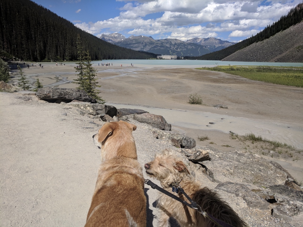
After a decently grueling hike at Lake Louise, I was happy to take the weekend off and leave Banff to the masses. It’s been a common theme this entire trip to lay low for the busy weekends since I have the luxury of biding my time and hitting the trails during the off-peak days. During July though, the weekdays are only moderately off-peak in the National Parks. Thanks to some campfire grilled chicken and veggies, a full recovery was made and we were ready for our next adventure.

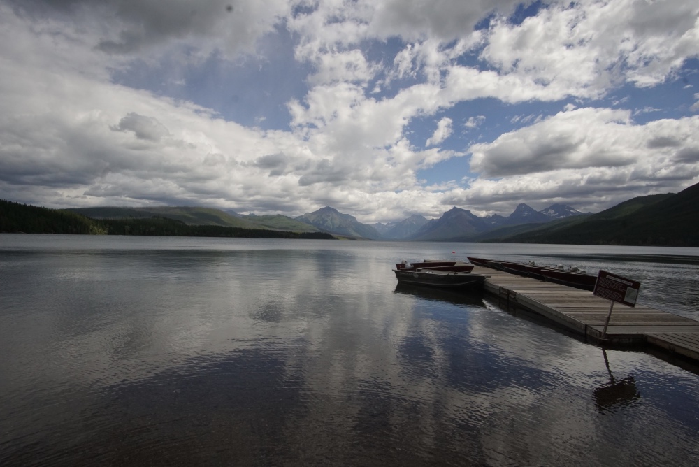
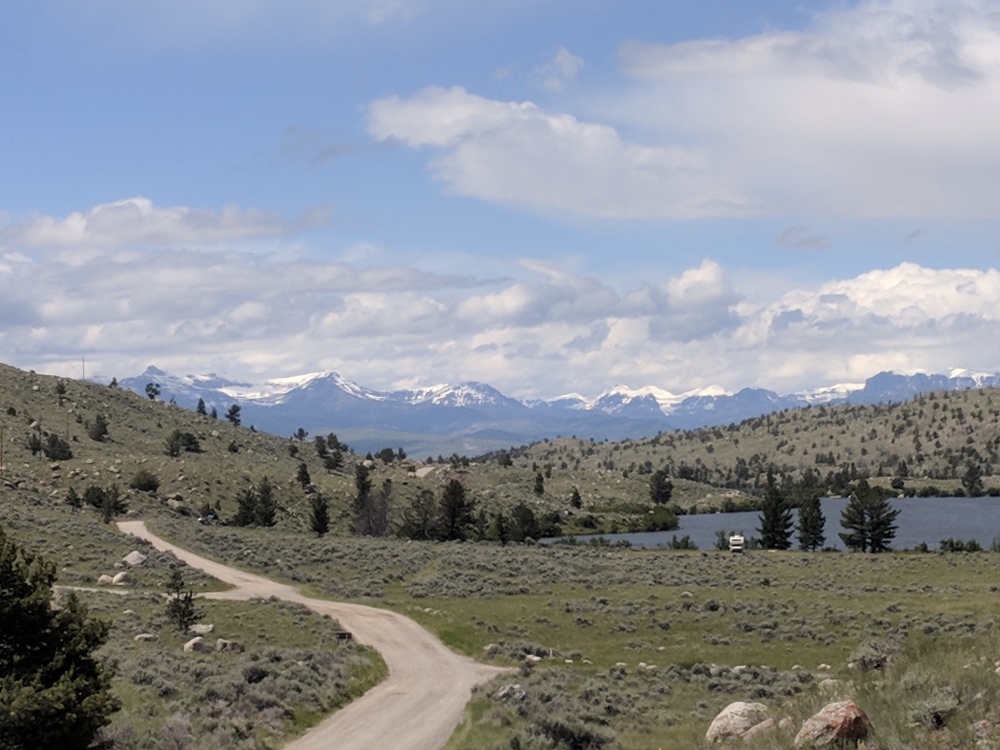
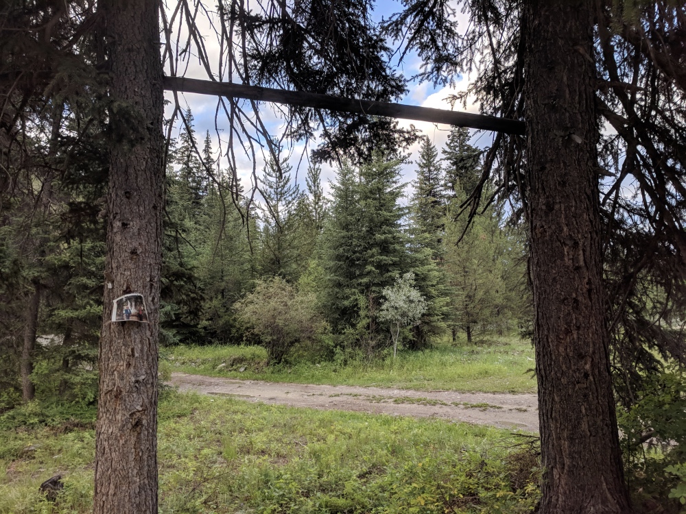
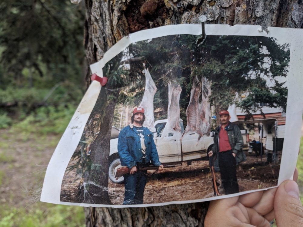
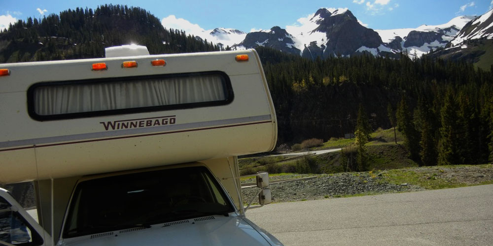
In between Banff and Jasper National Parks, I saw that I would be passing by Yoho, and I had heard that it was one of the lesser crowded parks, so I decided I’d take a look. Making an “early” start for me, I headed to Yoho to check out the first-come campground situation. Talking to the ranger at the entrance to the park, I found out that I basically only had one option for RV camping, Monarch campground, as the other campground was closed due to avalanches. The third campground at Takakkaw Falls was pretty cool, it was a walk-in campground where people would carry all of their gear about a quarter mile in to the campgrounds. I was lucky to get a spot at Monarch, as it was fairly small and even the overflow parking lot area filled up every day. That’s one major difference between the U.S. and Canadian National parks, once a U.S. campground fills up, that’s it, keep moving. The Canadian campgrounds will let you park anywhere there’s open ground, and won’t send you packing without a place to sleep like the U.S. will. Another key difference is the fire situation. In Canada, they make you pay a daily rate for a fire permit, and they stock a huge pile of firewood in the campground, and it’s all-you-can-burn. In the U.S., they’ll sell you a $6 bag of firewood that may last an hour, and a Canadian fire permit was about $6 a day, so a much better bargain.

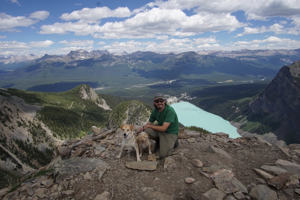
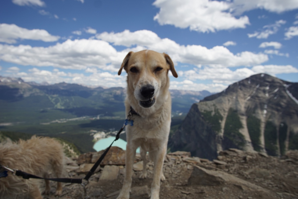
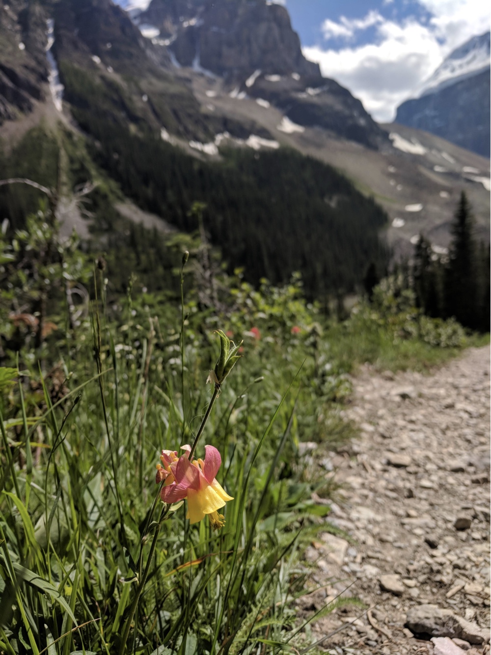
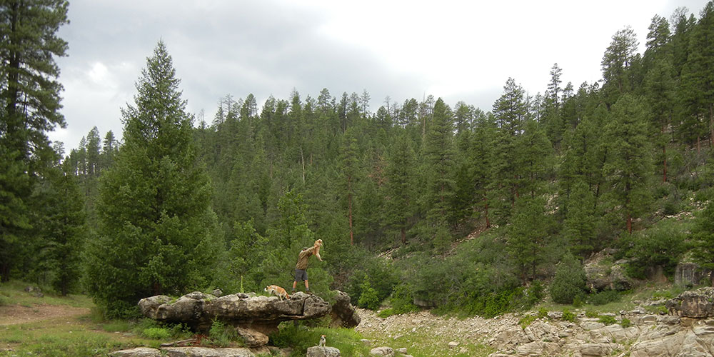
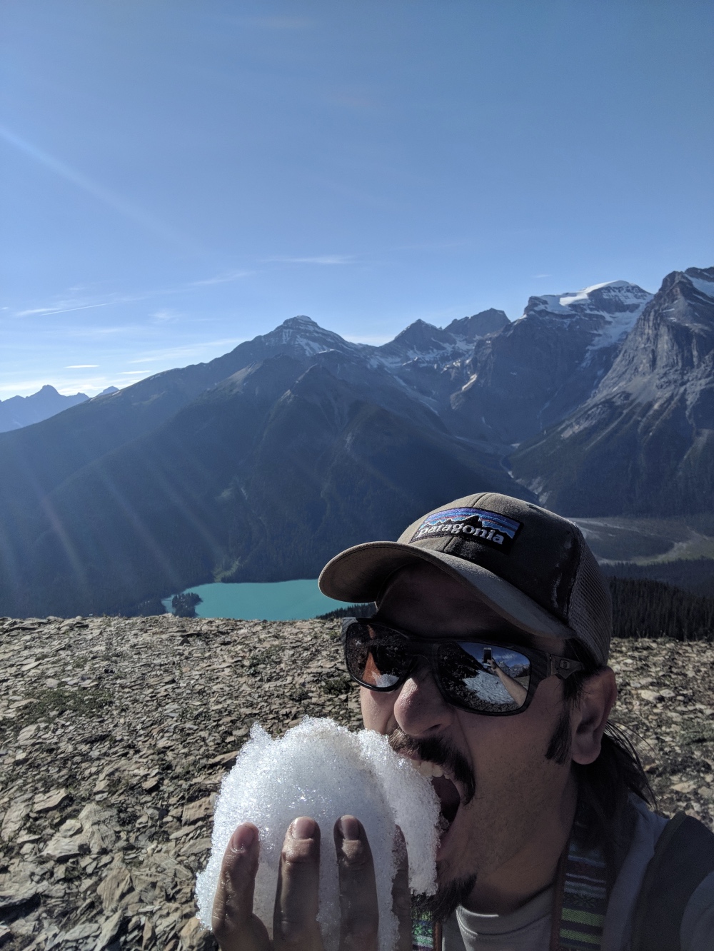
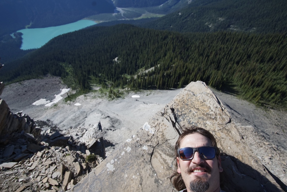
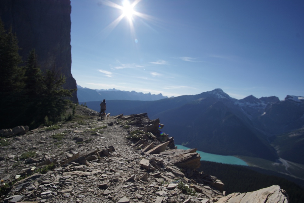
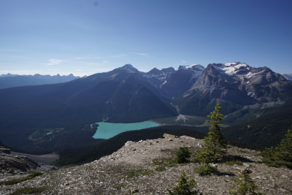
After securing my camp spot at Monarch, I decided to hit up the visitors center in the little town of Field to get the scoop on the backcounty permits and trails in the park. I bought a trail map of the area, and found a single backcountry site available for two nights at Twin Falls. It once again worked out perfectly, I got to take my time, do a hike that evening, and had the whole next day to get ready for my backpacking trip. I did the Burgess Pass trail for the rest of that afternoon, and it was an awesome reprieve from the crowds where I didn’t see another soul for the whole 12km up and down the pass. At the top was a nice little snow bank, and I was able to have a mandarin flavored Yoho Snowcone as a summit snack. The dogs were also pleased to crunch on an unflavored snowcone of their own to cool down after a fairly grueling climb up to the pass. The pass overlooked Emerald Lake at the top, and the solitary views were absolutely stunning. A true hidden gem of a trail, there wasn’t even a sign on the highway denoting a trailhead.

IMG_20180715_183312 DSC03846 DSC03826 DSC03823

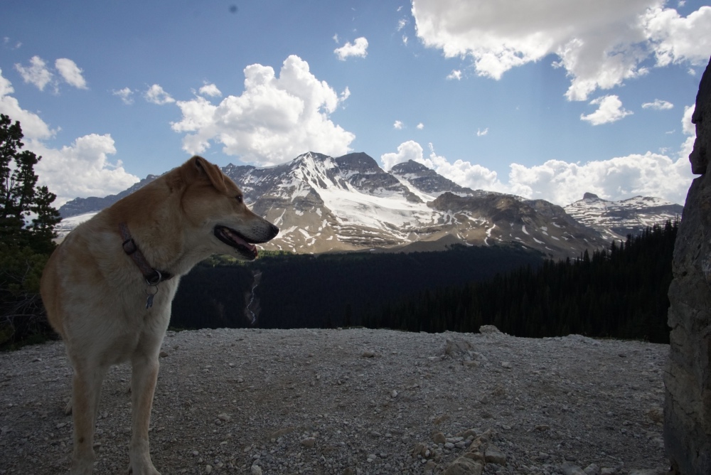
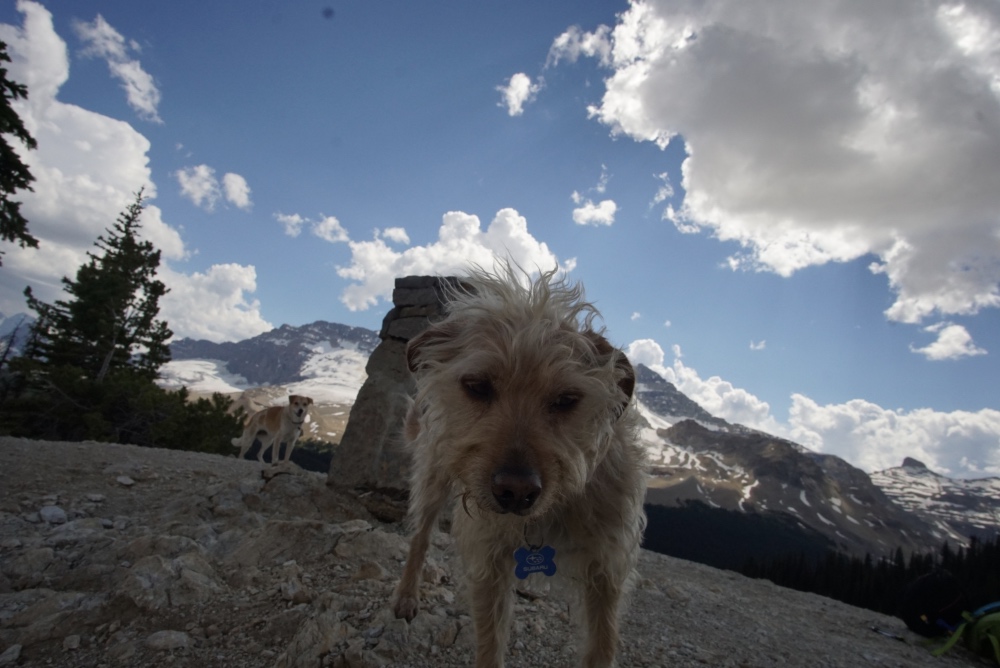
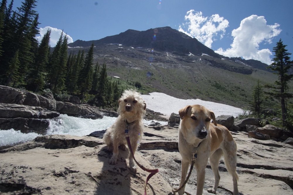
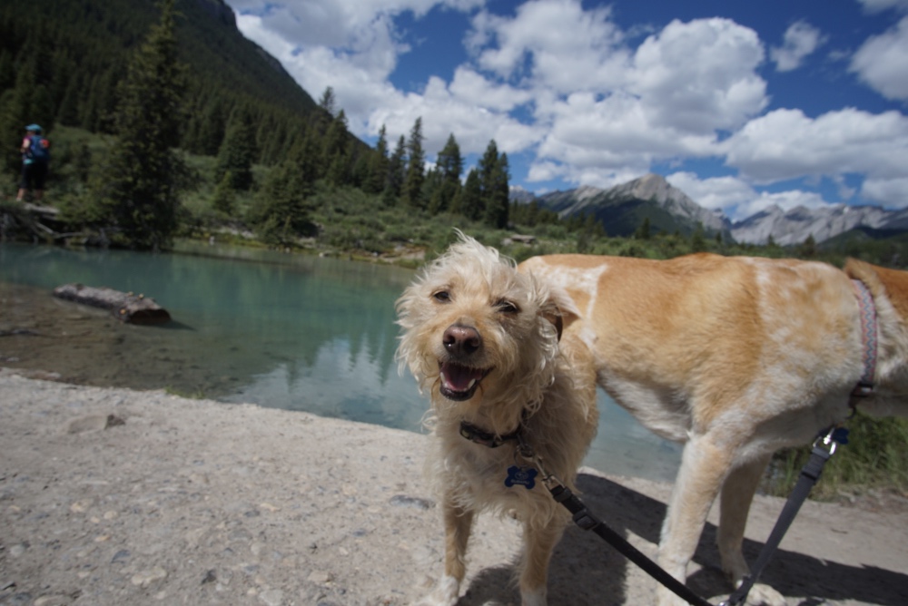
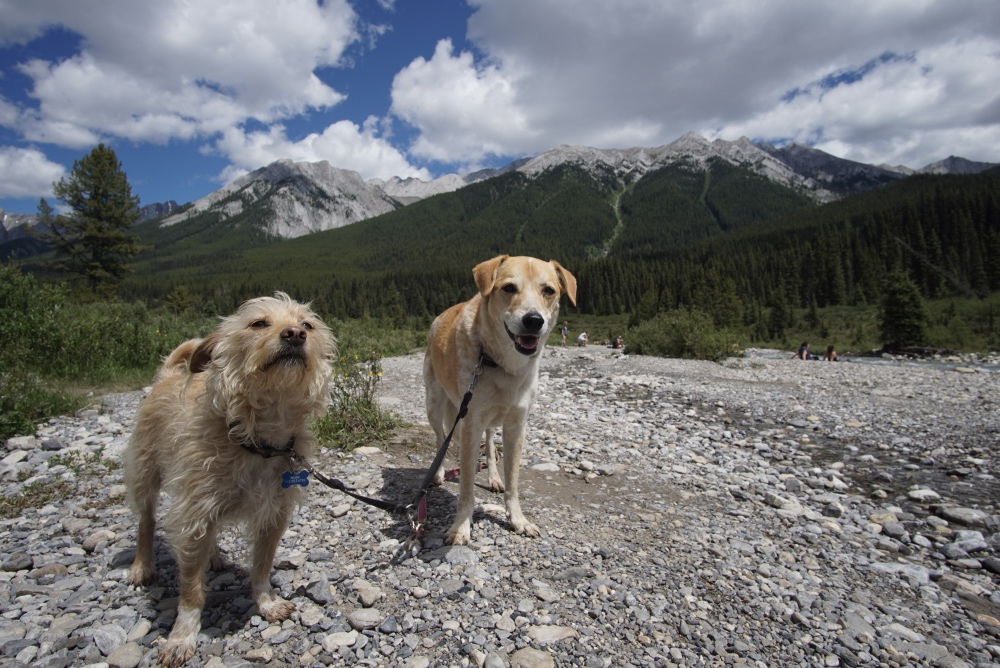
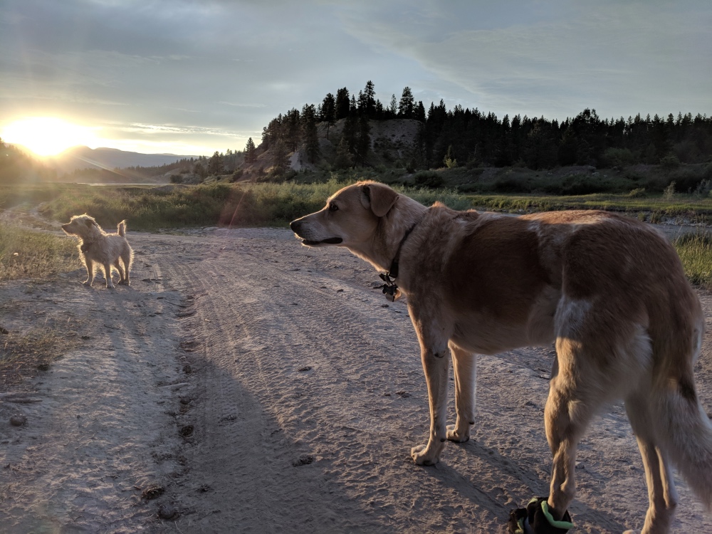
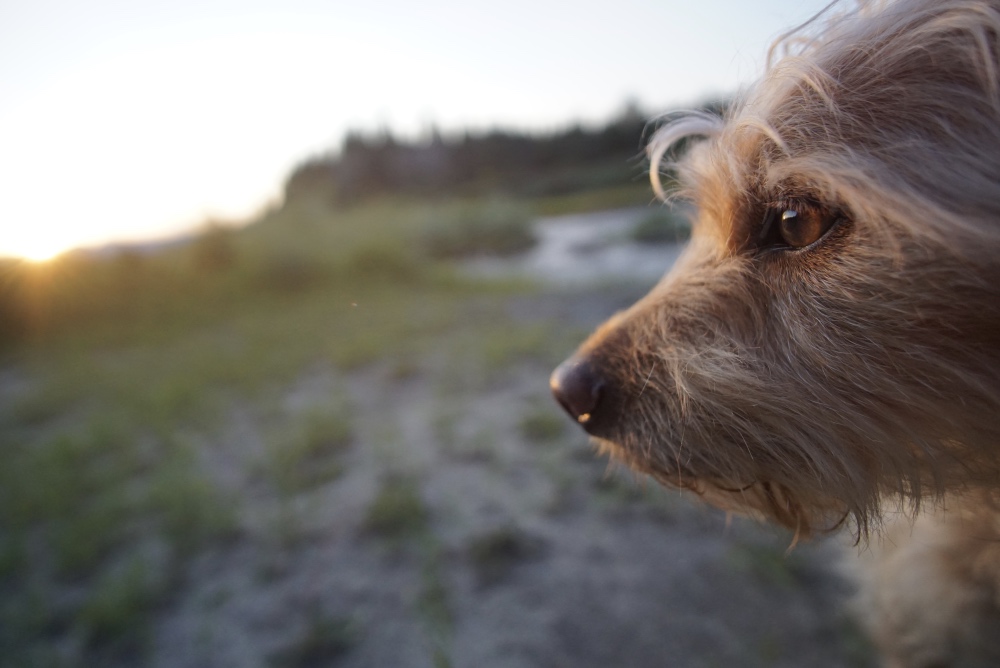
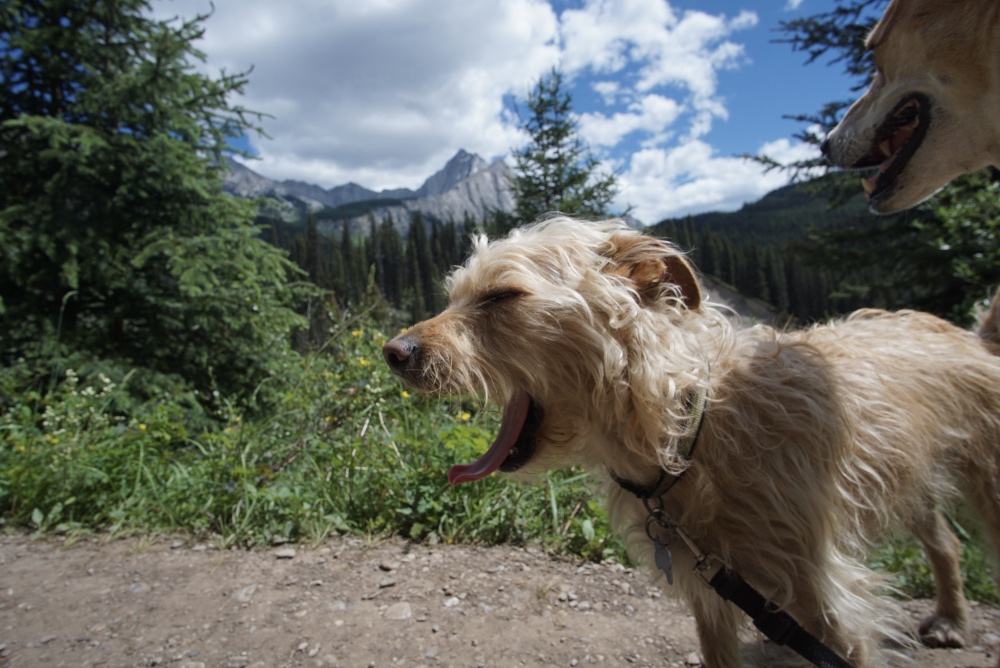
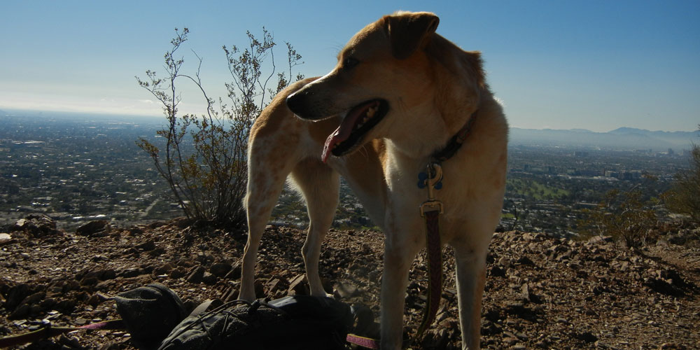
I got my backpack all packed and relaxed the next day, preparing for a two-night trip into the backcountry at Twin Falls Campground. It was only a 5-mile hike each way, and about 1000’ of elevation gain. I started early in order to get up the switchbacks in my RV before any crowds, and it was a good idea. There were a couple of switchbacks that required 3-point turns, wouldn’t have been fun if there had been any traffic. After a little bit of breakfast in the parking lot, and a little bit of fighting with Beans to get him to walk with his backpack on, we set off. Beans is definitely not a fan of wearing his backpack, he refuses to move when I put it on, it’s like he needs a jumpstart every time, and I have to force him to start walking. Once he’s in second gear and drops the clutch though, he seems fine. Thanks for carrying my beer for me Beans, it’s greatly appreciated.

IMG_20180716_214428

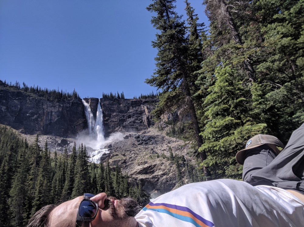
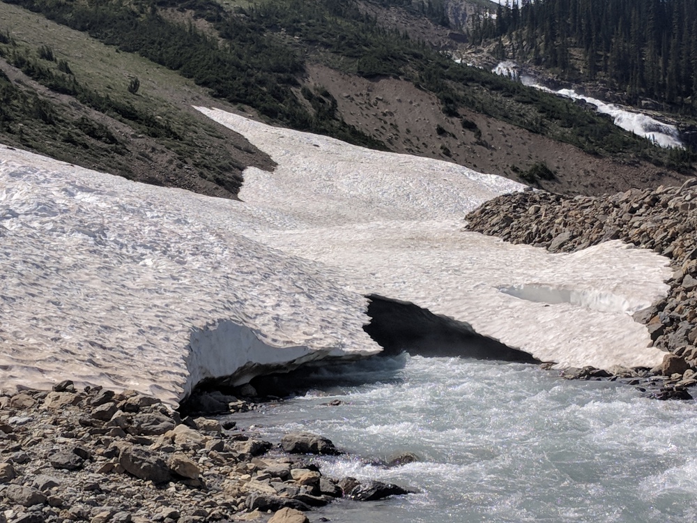
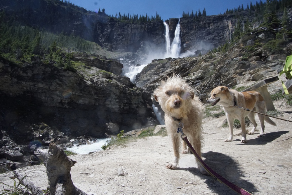
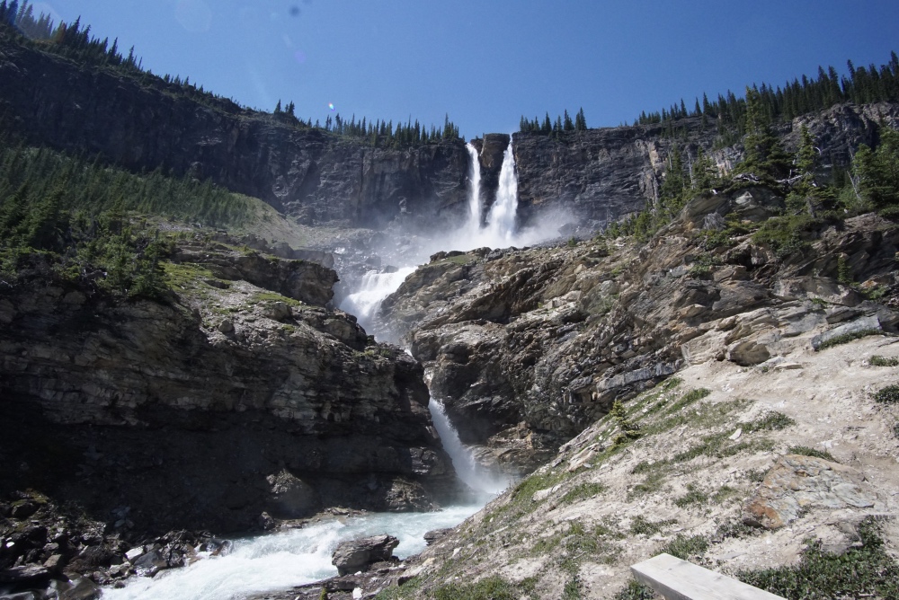
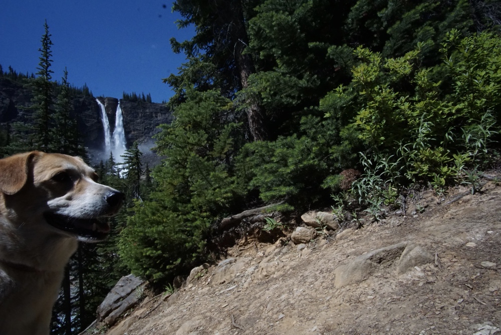
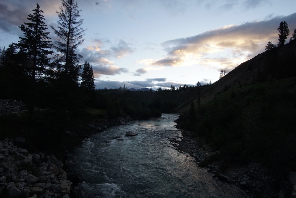
The hike was awesome, and the weather was perfect. We passed by Takakkow Falls (830’ and spectacular) which features a walk-in campground that was all booked up for my visit, but looked very cool. Next were Laughing Falls, which also had a backcountry campground, but was a few miles in. Then I got to my Twin Falls campground, and settled on which site I wanted, which was the most remote one that I could find. The setting was dramatic, with a trickling creek behind my tent to cool my beer down, and a river with a bunch of picnic tables that were our community dining facilities. I set up my tent, had a snack and a beer, hung my food on the bear pole, and packed up my supplies to head up a mile or so down the trail to Twin Falls.

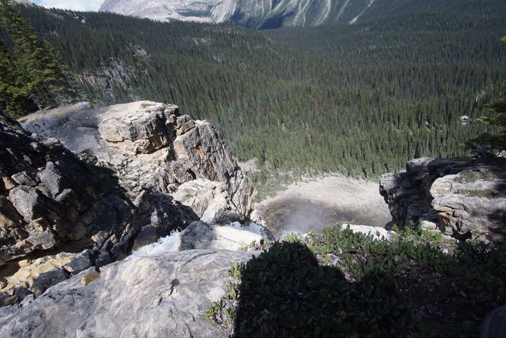
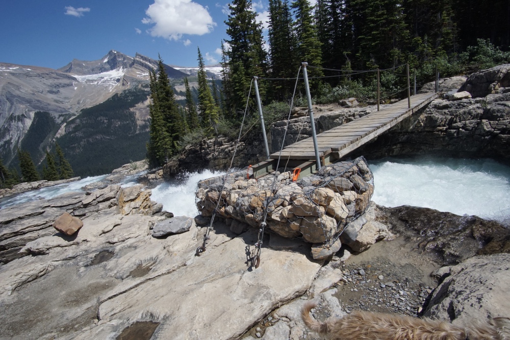
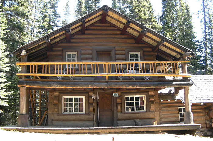
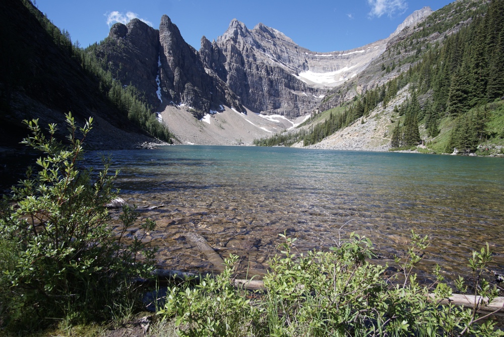
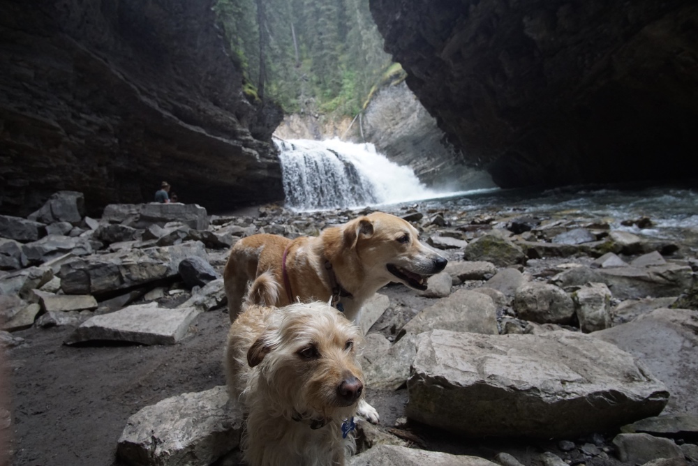
The Falls were a spectacular, 400’ double cascade, with a staircase set of falls at the bottom. This set of falls is second only to Havasupai in awesome waterfalls that I’ve ever seen. There is also an awesome backcountry chalet called Twin Falls Chalet, where you can book a room and get fed from a wood-fired stove , prepared by a sweet old lady named Fran. She has ran the chalet since 1962, and she is a legend. Apparently she still plans all the meals for the guests, handles all the logistics, and even packs in some of the supplies for guests every summer. I learned all of this the next day, when I went on a huge loop hike over the top of the falls and back down the other side of the mountain. When I got back down to the chalet, I chatted with a nice Canadian couple I met at the top of the falls, who treated me to some of their wine and company. They had the chalet all to their lonesome somehow, and had to book months in advance. Since he didn’t have to carry in any of his own food or camping supplies, apparently the husband had hiked in a full case of wine so he could share with the other guests, which did not exist. The couple was awesome; they actually both worked for the National Park, lived in the teeny tiny town of Field, and absolutely loved the lifestyle out there.

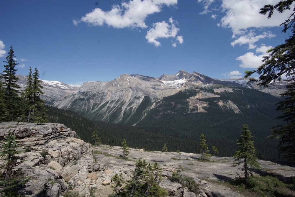
Since I had two nights booked at the campground, we had the whole next day to explore, and I estimate that we went about 10 hard miles. We went to Twin Falls, hiked up to the top of them via Whaleback Ridge, back down to the falls on the Marpole Lake Connector, and back to the campground. Along the route I ran into a couple of young lady rangers that had huge net baskets, and I asked if they were catching butterflies. They said no, and were actually looking for a type of fungus that was killing some trees in the park. Over those 3 days in the Yoho backcountry, we hiked over 20 fully satisfying miles, and were happy to get to the next campground for a little R&R.IMG_20180717_133635

IMG_20180718_151740 DSC03940 DSC03934 DSC03921 DSC03903 DSC03900 DSC03881 DSC03876 DSC03869 DSC03856 yoho chalet

Banff National Park and Lake Louise

DSC03754

Welp, guess I have some catching up to do as I’ve been slacking on my blog writing lately. Last post I had just gotten into Banff National Park in Alberta, Canada. I had secured my camping spot before the weekend at Protection Mountain Campground, and was happy to use it as my home base for exploring the area. With the weekend approaching, I knew that I had to get in some hiking at one of the more popular destinations in the park, Lake Louise. I had done my research on the hiking trails, and came up with a 12-mile round trip hike, Devil’s Thumb, rated as difficult, in order to get out of the heavy crowds. Starting as early as possible for me with a hearty breakfast and coffee to sustain a long day of hiking, I left the campground at around 8 just to get to a closed highway 1A, just my luck. Turning around to get on Freeway 1 caused a 45-minute detour, so my “early” start quickly got derailed, and by the time I got to the town of Lake Louise, I knew that all of the good parking would already be taken. So, I pulled over the first chance I got, and scored an empty parking lot at a picnic area about a mile away from the actual lake, oh well. The walk to the lake and trailheads wasn’t bad at all, and I knew I made the right call as I walked past dozens of cars waiting in line to get a parking spot.

After a couple of quick touristy pictures at the beautiful Lake Louise, I set off down the trail at a quick pace trying to get ahead of the hordes. The hike that I picked out was the perfect tour of the attractions around the lake, and featured a couple of other higher elevation lakes, the most scenic being Lake Agnes, the destination of most of the hikers on the trail. The dogs and I waited in line there for a nice cup of tea at the quaint little teahouse on the lake, and some chips and salsa, which I couldn’t recommend. I wish I had gotten the biscuits and jam, oh well, next time I’ll know. It’s probably not all that smart to be ordering chips and salsa anywhere in Canada, I suppose. Hiking past and above Lake Agnes and some daring Colorado hikers jumping in the frigid waters, I headed up to the Big Beehive overlook, but was excited to get headed up the final scramble up to Devil’s Thumb. By this time, the crowd had dwindled to all but the most adventures hikers, and I met the two most hard-core old ladies coming off the thumb, who both must have been at least in their 70’s. Saying something dumb as I’m known to occasionally do, I asked them, “Did you make it to the top?”   Slightly offended, but laughing it off, they replied, “Do you even have to ask?” Of course they did, and it wasn’t even the first time they’ve summited. Then they pulled an awesomely classic grandma move, and gave me a Werther’s Original caramel for the summit. I said thanks, told them that they were awesome, and assured them that the dogs would get some licks on the caramel, and headed on my way.

Before the final and most difficult ascent, there was a girl from Mexico there waiting for her friend to get to the peak, who would pick her up on the way back. Apparently, she would only hike as far as her fear of heights would allow, and let her friend continue ahead of her while she waited, sometimes an hour or more. I also spent some time talking to four nice dudes from Ohio State University heading up to the summit. One of them was struggling pretty good on the loose rocks, and he had to laugh at my all-terrain dogs running up, down, and back up the slopes again, never missing an opportunity to make sure my path was clear of chipmunks. Needless to say, the summit was epic as could be, and would be difficult to top the whole trip. I chose to make it a loop hike in order to see the plain of six glaciers on the way back, thinking that they probably need to rename it since all but a couple of the glaciers have unfortunately melted and receded. I came around the back of Lake Louise for the return trip, and there was an awesome beachy area where a bunch of tourists were hanging out and wading in the milky, bright blue waters. Too worn out to do any more sight-seeing, I was ready to get back home. With the added 2 miles to get to my picnic area, I estimate that we did 14 miles that day and it was well worth it. I was happy to get back to my campsite and have a couple of days to rest, eat, drink, make fires, and plan out my next adventure.

DSC03799 DSC03792 DSC03780 DSC03769 DSC03760 DSC03749 IMG_20180713_154618 IMG_20180713_160519

Canada Ho, Eh

DSC03732

Montana had some amazing free camping going on, but since I was heading in that direction anyway, I had to at least see Glacier National Park. I knew that it would probably be as ridiculously crowded as Yellowstone, and once again I couldn’t take the dogs on any good hikes. It wasn’t as bad as I thought it would be, and the place was definitely beautiful. I was able to score the last camping spot at Fish Creek Campground for a couple of nights, and they had showers, so I call that a successful visit. I was able to take the dogs on some of the little paved trails around the campground, and I was camped basically right on the picturesque Lake McDonald. Since I was able to have a good fire at night, I even got up enough nerve to go for a chilly and brief little nakie dip in the lake, totally worth it. I attempted to go over the butt-clenching Logan pass on the Going-to-the-Sun Road (21’ maximum length vehicles allowed), but the weather turned on me as we were getting close to the top, and I got scared and turned around the first chance I got. Skippy is 21’ before the bumper addition, so I’m actually more like 22.5’, I guess I should listen to those kind of restrictions a little more seriously.

IMG_20180702_143730 DSC03600 DSC03597

After Glacier, I was ready for some free camping where them dogs could roam free once again. So, I found a spot near Eureka, Montana, that had one good review on freecampsites.net, and decided to check it out. If it didn’t work out, there were other options nearby. This spot was AWESOME. I was camped right at the mouth of the Tobacco River, so I had a river, a lake, a mountain view, a level, graveled site, and a pit toilet within a 5-minute walk. It got warm during the day, and I had to chase the shade and take a dip in the frigid river every once in a while, so it was totally manageable. Actually a nice reprieve from all the rain and clouds I’ve been seeing lately. I even busted out the generator and ran the AC for the first time this trip, and it worked great, glad I decided that it was worth the extra cost and weight. We could have just hung out outside all day and chase the shade around the campsite, but Sierra woke up one morning walking on 3 legs, and after a close inspection, I found a nice sized hole between her paws and I had no idea how it happened. My biggest worry was that there was still a thorn stuck up there and it would get infected and have to find a vet. So, I played doctor, got out my nice first aid kit, cleaned it up as best I could with rubbing alcohol, put some antibiotic ointment on it, wrapped it up with gauze and tape, and ordered her to bed rest. That only lasted a day before she decided that she didn’t want a bandaged foot anymore. After taping it up 4 times in one day, and even resorting to taping a sock on her foot, and losing said sock, I gave up. She was getting better; I just had to keep an eye on her for a couple of days to keep her from licking it. After 3 nights at the Tobacco River and a full paw recovery, we were Canada bound.

IMG_20180706_214900 IMG_20180706_212024 IMG_20180706_211700 IMG_20180619_153034 DSC03637 DSC03613 DSC03616

Upon entering Canada, I needed to re-supply, so after a quick stop at one of towns near the border, I figured I needed a place to stop before we headed into Banff and unknown camping situations. The documented free camping sites are few and far between, it seems like Canada is more dependent on developed, paid camping, but I was able to scrounge up a free site on Findlay Creek that was WAY off-grid. But oh well, I’d take what I could get so off we went. The sites were hard to come by, and there were tons of back-roads to wander. I found a nice field where a bunch of trailers were already parked, so I decided to go back to the first site I saw, and it was way off by its’ lonesome, right next to the raging creek that would’ve definitely been classified as a river in the states. The site was decent, quiet, and had a plywood box to poop in, so we stayed a couple of nights since it was a pretty good drive to get to Banff. Probably the coolest feature of the site was the little piece of history tacked up to one of the trees. It was a picture of a couple of good-ole-Canada boys showing off their kills, a couple of deer carcasses hanging from the very tree sitting in the campsite. It looked like the vintage of the old truck was late 80’s, early 90’s, very cool.

IMG_20180710_204943 IMG_20180710_204933 DSC03689

I forced myself into an early start after two peaceful nights at Findlay Creek, the first time I’ve had to set an alarm in months by the way, and headed towards Banff, not knowing whether or not I’d be able to score a camp site in their developed, first-come, first-served campgrounds. I was due for some groceries, so I made a pit stop in Invermere and grabbed an obligatory cup of Tim Horton’s. I had good cell-phone reception here for the first time in a long while, so I decided to check out Canada’s campground reservation service to see what’s what. Luckily, I was able to score a spot right before getting to Banff, Redstreak Campground in Kootenay National Park that had showers and was within walking distance to some trails and a hot springs, not too shabby. Anxious to get into iconic Banff, I only stayed a single night, but had time to get a good hike and shower in.

My first nights in Banff were every bit of incredible as I could’ve hoped for. Once again getting an early start out of Kootenay, I stopped at one of the first campgrounds that I got to, not knowing how fast they fill up every day, and the weekend was approaching. It was time to hunker down for the weekend and wait out the crowds. I ended up at Protection Mountain Campground and was pleasantly surprised at how many open spots there were, so I was able to actually be picky and chose a site with nice afternoon shade. It was a wide open valley surrounded by looming giants, snowcapped peaks and severe cliff faces. It was a pleasure to sit there in my trusty camp chair and just take it all in, but I knew that I had to act fast if I wanted to avoid the hordes of people on all of the popular hikes. So, with my spot secured, I braved Johnston Creek, a popular hike with waterfalls, and plenty of options for hiking beyond the crowds. I didn’t get there early like you’re supposed to, so the flocks of tourists had already amassed, but somehow I got VIP parking with someone pulling out as I pulled in. Somehow I’ve been lucky in this regard for this whole adventure, I’ve consistently gotten the last camping spot, the only parking spot, and the very last reservations. I can’t help but think it’s not random, and some force in the Universe is looking out for me.

DSC03698 DSC03727

The easy hike up Johnston Creek to the two waterfalls was a shit show, I barely got glimpses of the falls through the sardined tourists getting their Facebook pictures in. Sierra was a handful as we were walking over narrow gangplanks suspended over the river bolted onto the Cliffside. It was barely wide enough for two people to pass each other, and there I was trying to wrangle two dogs attached to each other by a two foot lead… It was a mess, but funny now looking back at it that I was even able to coax an anxious dog over these things without any incidents. While I tried to wrestle Sierra the edge of the walkways to let people pass, she resisted, resulting in an interesting little dance of wills. Once we get past the easy parts of any hike though, the crowds dwindle, so it was only about a mile and a half of this embarrassing choreography. Beyond the falls were the Inkpots, small pools of different shades of blue and green, which for some reason I guess I didn’t get any pictures of, but there are already thousands on the Google. I think I was more impressed with the surrounding jagged peaks.  This post has definitely been delayed due to the lack of any reliable internets while in the parks.  There are still tons of great adventures to tell about from the parks, so stay tuned.  I am now actually driving through Canada to get to upstate New York, which is a funny story that will have to wait for the next episode.  This is the most driving I’ve put Skippy through, so wish me luck!